The PF "CAMP Alatoo" has begun work on implementing sustainable land management practices in the Batken region. This initiative is being carried out under the project "Strengthening Pasture Management and Enhancing Climate Resilience in the Isfayram-Say and Shakhimardan River Basins," with the support of the Deutsche Gesellschaft für Internationale Zusammenarbeit (GIZ) GmbH.
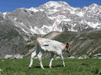
The project’s primary goal is to help local communities utilize pastures while maintaining soil fertility and reducing the risks of degradation caused by emergencies such as landslides, mudflows, and soil erosion.
During the first six months of the project — from September 2025 to January 2026 — the team focused on using GIS technologies to plan resource management based on landslide risk assessment data in the Isfayram-Say and Shakhimardan river basins. This information was then provided to local government bodies to support decision-making regarding pasture use and infrastructure development.
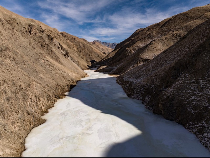
To address these objectives, project specialists developed a manual on spatial analysis of pastures to identify areas prone to erosion, mudflows, and landslides. In practice, this data will help reduce grazing pressure on pasturelands and prevent damage to vegetation cover and soil surfaces, ultimately lowering the risks of mudflows and landslides. During the preparation of the manual, experts studied methodologies for the early detection of landslide and mudflow processes currently used by specialists from the Ministry of Emergency Situations of the Kyrgyz Republic.
In addition, detailed maps of vulnerable areas and a landslide hazard map were produced. Concurrently, experts reviewed the pasture management plans of the Orozbekov, Uch-Korgon, and Maidansky aiyl aimaks (rural municipalities) in the Batken region and identified current land boundaries to develop new grazing plans based on them. The work to update these plans is scheduled to take place during field workshops with the participation of representatives from local governments, municipal enterprises, farmers, and herders.
This project represents the first experience in Kyrgyzstan where natural hazard maps and climate calculations are directly used to create practical pasture management plans aimed at protecting the region from disaster risks.

Итоги пастбищного сезона 2018 года были подведены на очередном заседании районной пастбищной комиссии (РПК).
More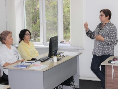
The development of the unified method, "Monitoring Pastures at the Local Level," is nearing completion.
More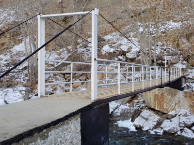
Четыре новых моста построены в 2018 году в Кыргызстане при поддержке ОФ “CAMP Алатоо” и Швейцарской ассоциации “Памирские...
More