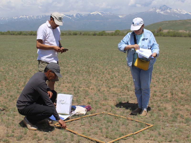
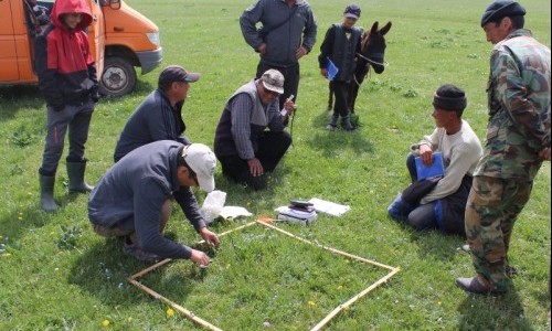
From June 5 to June 12, 2023, the members of the working group field-tested the developed unified methodology for pasture monitoring. The testing process took place in summer pastures. The selected auls (villages) and settlements, chosen by the members of the Monitoring and Reporting Group (MRG) in each region of the country, included: (1) Zhargetal Aul, Naryn region; (2) Barskoon Aul, Issyk-Kul region; (3) Suusamyr Aul, Chui region; (4) Nurzhanov Aul, Talas region; (5) Bagysh Aul, Jalal-Abad region; (6) Kulatov Aul, Osh region; (7) Kөtөrmө Aul, Batken region.
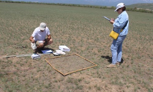
For monitoring on pastures, specific monitoring points representing various types of vegetation and their growth conditions were selected. At each point, specialists collected data, including an assessment of vegetation cover, its species composition, yield, as well as measured soil types and determined the degree of erosion and the frequency of pasture use.
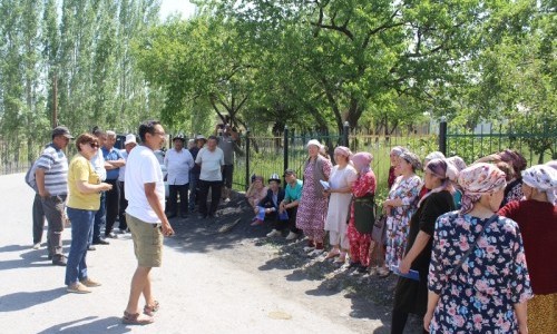
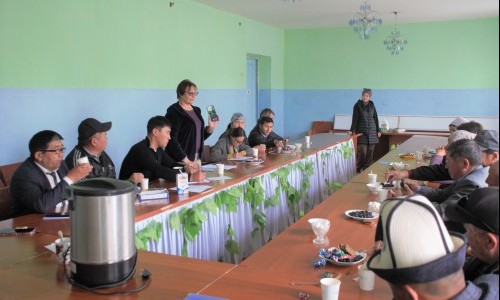
During visits to auls, the MRG members conducted training on the application of the new unified methodology for representatives of pasture committees, rural administrations, and resource users. Participants not only acquired theoretical knowledge but also gained practical skills in pasture monitoring. They studied the basic tools, methods, and principles necessary for assessing the state and managing pasture use. Together with trainers, they discussed issues related to vegetation quality analysis, pasture cover density, seasonal changes, and pasture degradation.
One crucial component was practical work: using the unified methodology, specialists and members of pasture committees conducted joint pasture monitoring. In real conditions, they assessed its advantages and opportunities for application. Thanks to this hands-on experience, local communities learned how to use the methodology and expressed their readiness to apply it in their work.
Field data obtained during the testing of the unified methodology will be processed, and based on the results, experts will determine correlations with Normalized Difference Vegetation Index (NDVI) values obtained from satellite imagery. NDVI is an indicator of green biomass and vegetation activity on pastures. This index is based on the difference in reflection of near-infrared and visible light, allowing for the evaluation of the extent of green cover and the physiological condition of plants.
The unified methodology was developed at the initiative of the Department of Pastures and Livestock Breeding of the Ministry of Agriculture of the Kyrgyz Republic with the support of Deutsche Gesellschaft für Internationale Zusammenarbeit (GIZ) GmbH (German Society for International Cooperation). The SAMR Alatoo Public Foundation provides organizational and technical support to the project.
Итоги пастбищного сезона 2018 года были подведены на очередном заседании районной пастбищной комиссии (РПК).
MoreThe development of the unified method, "Monitoring Pastures at the Local Level," is nearing completion.
MoreЧетыре новых моста построены в 2018 году в Кыргызстане при поддержке ОФ “CAMP Алатоо” и Швейцарской ассоциации “Памирские...
More