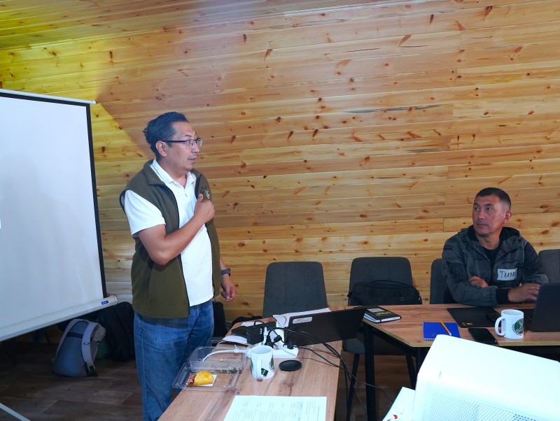
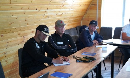
Rangers from the Jeti-Oguz, Ak-Suu, and Chon-Jargylchak wildlife refuges participated in an intensive training session titled "Conducting Field Research to Study the Distribution, Movement, and Habitat Status of Wild Animals." The training, hosted at the Chon-Jargylchak Visit Center, was organized by specialists from the CAMP Alatoo PF under the project "Involvement of Local Communities for Sustainable Protected Area Management and Planning," funded by the Sigrid Rausing Trust.
The main objective of the training was to develop the skills of protected area staff in conducting field monitoring using modern technologies for nature conservation.
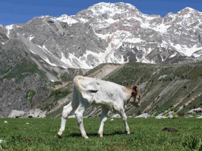
Following a brief introduction to the project's goals regarding local community involvement in protected area management, the participants moved on to the core curriculum. Experts from CAMP Alatoo PF explained the methodology of conducting interviews, including the rules for gathering information from shepherds, foresters, and local residents. These surveys provide crucial data based on local observations of the migration routes and habitats of animal species living in the Issyk-Kul region.
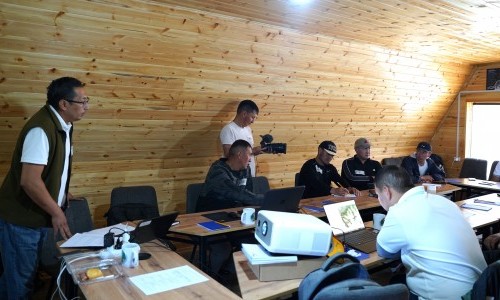
However, collecting data manually today—using paper and a pen to write down words—is no longer relevant. Information gathering must be carried out using digital technologies, which a modern protected area inspector needs to know and apply. Therefore, an essential part of the training was mastering the SMART Patrol system and GPS navigation. Armed with this knowledge, rangers can use smartphones or navigators directly during patrols to map precise routes, record their movement tracks, and record any observations on the spot—ranging from wildlife encounters to signs of poaching. This electronic data is then exported into convenient formats, such as GPX, KML for maps, or standard Excel, allowing for the prompt transfer of precise coordinates and digital maps to the management of wildlife refuges or experts.
Another key skill that participants mastered during the theoretical sessions was track registration. They studied the methodology for the correct identification and recording of animal signs, such as paw prints, feeding sites, and other traces.
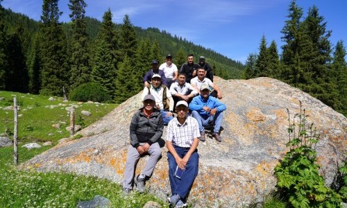
The second day of the training was dedicated to consolidating this knowledge in practice. The rangers showed particular interest in the module focused on working with field equipment—specifically GPS navigators and camera traps. The participants analyzed in detail the rules for selecting locations, configuring, and maintaining these automated cameras.
Later, during field exercises, the rangers independently mapped survey routes, recorded data on GPS navigators, registered wildlife encounters and signs of activity in the SMART Patrol system, took reference photos, and learned how to maintain field logs correctly.
Following the final discussion, all training participants were awarded certificates confirming the successful completion of the course.
Specialists from the CAMP Alatoo PF highlighted the active engagement of the rangers in the process and the positive results of the practical assignments. The newly acquired skills will enable the implementation of a unified digital approach to wildlife monitoring across the entire project area.
As next steps, a full-scale launch of field research in the designated areas is planned. In the near future, the rangers will begin regular patrolling, maintaining camera traps, and building unified databases that include GPS tracks, survey results, observation logs, as well as photo and video archives.

Итоги пастбищного сезона 2018 года были подведены на очередном заседании районной пастбищной комиссии (РПК).
More
The development of the unified method, "Monitoring Pastures at the Local Level," is nearing completion.
More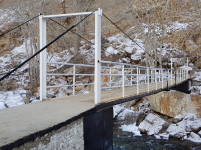
Четыре новых моста построены в 2018 году в Кыргызстане при поддержке ОФ “CAMP Алатоо” и Швейцарской ассоциации “Памирские...
More