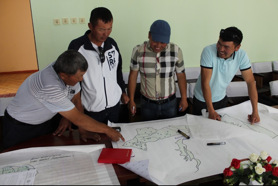
The preparatory work included workshops during which data were collected. On this basis, evaluation sheets were prepared for each pilot region, taking into account its specificities. The evaluation team consisted of representatives from the Department of Pastures under the Ministry of Agriculture, Processing Industry and Land Reclamation of the Kyrgyz Republic, Institute of Pastures and Livestock of the Kyrgyz Agrarian University, and staff of CAMP Alatoo PF.
Assessment of land degradation and sustainable land use in rangelands in Kyrgyzstan.
The monitoring of the condition of the rangelands was carried out on 782 plots of all rangeland types, which provided more detailed information. The main type was summer pastures. In one aiyl aimak at least 10 monitoring points on summer pastures were selected. While the total number of points in autumn, winter and spring pastures was only 10, as these pasture types are mostly in the same area. When recalculated for each area the following figures were obtained:
1) Alai, Chon-Alai - 177 monitoring points
2) Suusamyr -166 monitoring points
3) Syrtys - 137 monitoring points
4) Aksai, Arpa and Son-Kol - 302 monitoring points
Results:
During the field surveys, in addition to qualitative indicators, some quantitative parameters have been analysed. This enabled improvement of the baseline design and future monitoring activities as well as cross-site analysis.
Using these sets of indicators at each site, the percentage of bare ground, ratio of vegetation eaten to undernourished, average height of vegetation, etc. were assessed.
The data obtained revealed the following trends:
Ground cover (projective cover) is highest in areas of average altitude between 2500 and 3000 metres above sea level; it decreases in the lower and upper zones.
There is also a correlation between plant edibility and altitude. The number of plants eaten decreases with decreasing altitude.
Evidence of seed formation and grass germination of pasture species showed a negative correlation with altitude. In the lower zones the number of plants with seeds is moderate, starting from the middle zone the number of plants with seeds decreases. Note that all plant types were evaluated according to this characteristic, including non-nesting plants.
Pasture users' perception of pasture condition also correlates with altitude. They believe that pastures also improve with increasing altitude. This can be explained by the fact that for pasture users vegetation eatability is the main indicator, so it is possible that the perception of pasture condition by pasture users and pasture plant eatability indicator have a similar trend.