-
Implementation Period: 2016 - 2018
-
Donor organization: United States Forest Service
-
Geographical location: Naryn, Chui, Osh and Jalal-Abad oblasts, Kyrgyz Republic.
With the adoption of the Kyrgyz Republic law "On Pastures" in 2009 pasture committees were established all over the country. Their main task was the sustainable management of pastures to prevent their degradation through the development of community plans for pasture management and their implementation. However, the pasture use plans prepared on the basis of their capacity did not meet the realities due to the low awareness of the committees. In addition, the pasture committees, due to their employment due to the collection of resource and infrastructure fees, are often not aware of the state of local pastures. Based on this there was a need to develop a simple yet more correct approach to replace the current practice of developing grazing plans in the future.
Project Background
The Grazing Response Index (GRI) method is similar to the traditional knowledge of our ancestors on pasture management. Of course no one used to keep accurate records of grazing days and documented the data, but the shepherds were well aware of the vegetation periods of each plot and did not lead the pastures to a degraded state. Today, however, this knowledge has been neglected, leading to pasture degradation.
Project Objectives & Goals
The aim of the project is to adapt the Grazing Response Index (GRI) approach to the Kyrgyz context to facilitate the grazing planning process to combat pasture degradation. The approach is designed to describe annual pasture use, interpret the impact of grazing and assist in planning grazing for the following year. The essence of the method is to rotate pastures within one season. The user divides the pasture area into three or more plots. This method requires data on the number of grazing days, the growing season, as well as an assessment of the pasture condition at the end of grazing.
Project Result
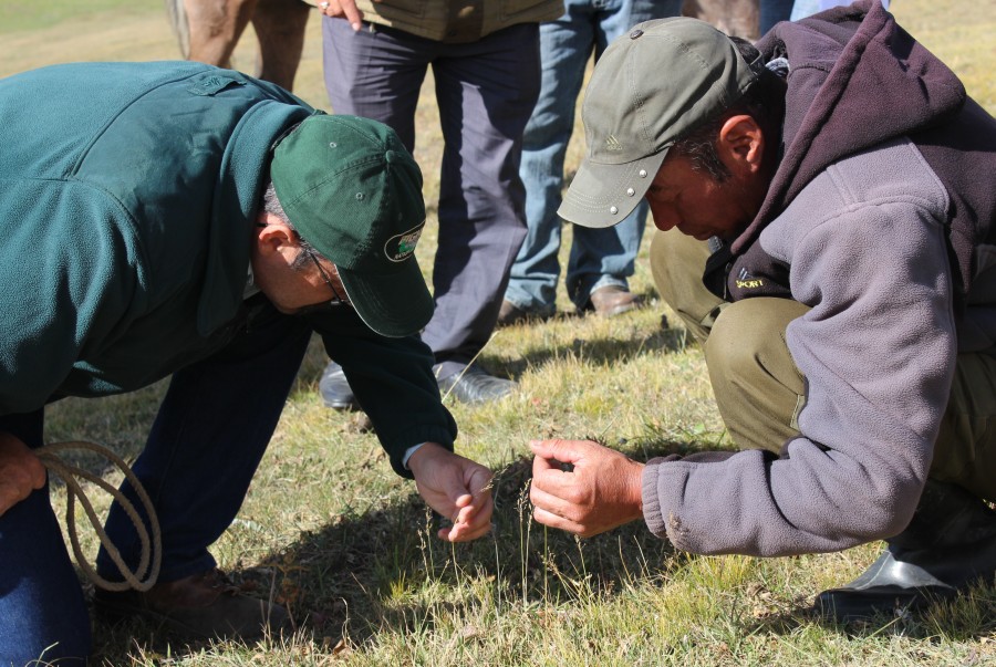
- Conduction of a postgrazing assessment in cooperation with the Jaiyt committees and pasture users
- Digitalisation of the map of the project area
